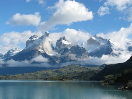
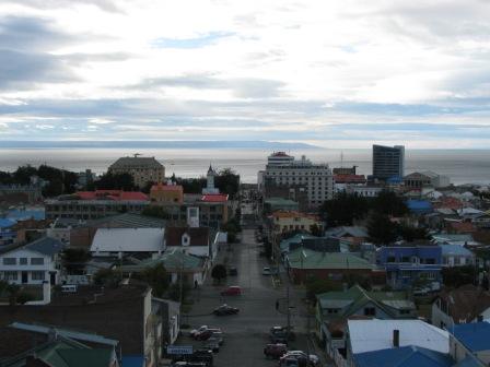
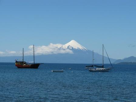
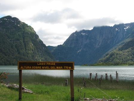
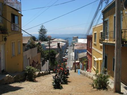
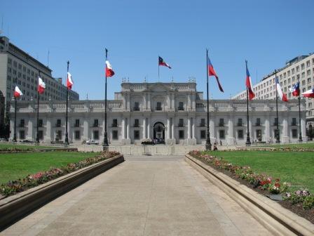
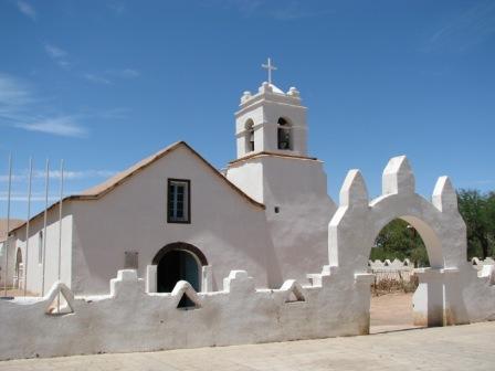
Chile runs for some 4,000km down the south-western coast of South America, a thin strip of land but one with diverse and dramatic landscapes. The southern regions of Patagonia and Tierra del Fuego are characterised by coastal archipelagos and the mountainous mainland, with Torres del Paine National Park renowned for its natural beauty and exciting trekking opportunities. Further north, the Lake District around Puerto Varas is equally picturesque, with snow-capped volcanoes towering over pristine lakes. Culturally, Chiloé Island provides reminders of Chile's colonial past while the port city of Valparaiso has a beautiful faded charm, in addition to its status as a political and cultural centre. In the north of Chile, the Atacama Desert is home to some spectacular landscapes - volcanoes, geysers, sand dunes and salt lakes, set amidst some old mining towns that are key to the country's history and economy. If this isn't enough, some 4,000km west of Chile in the Pacific Ocean lies Rapa Nui, or Easter Island, one of the most remote and fascinating destinations in world travel, home to the monolithic stone statues of a vanished culture. Explore in depth highlights of Chile.
| Tours | Unesco WHS | Guidebooks |
|---|---|---|
| groups tours with set departures |
World Heritage Sites | country, regions and cities |
| Time zone: | GMT -4 (Chilean standard time) |
|---|
| Daylight savings: | GMT +1hr, begins second Sunday in October; ends second Sunday in March |
|---|
| Main languages: | Spanish |
|---|
| Currency: |
Chilean pesos (CLP) €1 = $773, $1 = $0.00, £1 = $921 (rates as of Sep 2016) |
|---|
| Internet Domain: | .cl | International Dialling Code: 56 |
|---|
For help planning your trip to Chile including visas, vaccinations, currency exchange, flights, accomodation and insurance, see our Chile trip planning page.
Further information on Chile
Discover more about Chile - the country's geogrpahy and natural features, an assessment of its status on freedom and rights and data on the country's population and economy.
Geography & Natural Features

Total area: 756,950 sq km (8,150 sq km under water)
Coastline: 6,435 km (Pacific Ocean)
Neighbours (border lengths): Argentina (5,308km), Bolivia (860km), Peru (171km)
Climate: Climate varies with latitude. Arid desert in the north and dry throughout the year, high altitude keeps temperatures down. Mediterranean climate in central Chile, very hot between November and March, winter between April and September can be cold and very wet. Patagonia is much colder, while Easter Island has a subtropical climate. Chile is subject to severe earthquakes as well as volcanoes and tsunamis.
Highest mountain: Nevado Ojos del Salado (6,880m)
Freedom & Rights
Summary status and rankings for Chile from classifications of different organisations measuring political and economic freedom, democracy and civil rights. See more details of these rankings.
| Index | Status | Rank | |
|---|---|---|---|
 | Freedom in the World | Free | - |
 | Democracy Index | Flawed democracy | 32/167 |
 | Economic Freedom | Mostly Free | 7/179 |
 | Press Freedom | Satisfactory situation | 42/179 |
 | ILGA LGBT rights | Some rights | - |
 | Corruption Perceptions | Low corruption | 21/174 |
| Overall Ranking: | 24/195 | ||
Other Data & Links
Full name: Republic of Chile Status: Independent Country
Population: 17,363,894 (rank: 64/196) Density: 22.9 people/sq km (rank: 156/196)
Ethnic groups: white and white-Amerindian 95.4%, Mapuche 4%, other indigenous groups 0.6% (2002 census)
Religions: Roman Catholic 70%, Evangelical 15.1%, Jehovah's Witness 1.1%, other Christian 1%, other 4.6%, none 8.3% (2002 census)
GDP (PPP): $335.4 billion GDP per capita: $19,100 (rank: 55/195)
Information derived from the CIA World Factbook. Other country profiles: BBC News.